
Vermont’s Long Trail
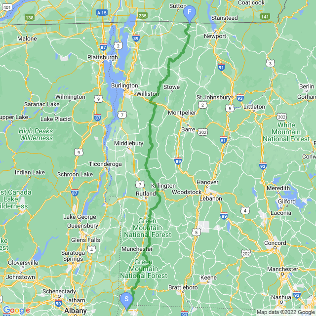
The Long Trail is a 273-mile (438 km) hiking trail located in Vermont, running the length of the state from the Massachusetts border (near Williamstown, MA) to the Canadian border (near North Troy, VT). It runs along the main ridge of the Green Mountains, coinciding with the Appalachian Trail for 100 miles (160 km) in southern Vermont and traverses almost all of the Green Mountains’ major summits, including (from south to north) Glastenbury Mountain, Stratton Mountain, Killington Peak, Mount Abraham, Mount Ellen, Camel’s Hump, Mount Mansfield, and Jay Peak.
It is the oldest long-distance trail in the United States,constructed between 1912 and 1930 by the Green Mountain Club (GMC). The club remains the primary organization responsible for the trail, and is recognized by the state legislature as “the founder, sponsor, defender, and protector” of the Long Trail System.
The Long Trail was conceived on March 11, 1910, by James P. Taylor. Taylor lobbied other Vermont residents who shared his dream of a mission to “make the Vermont mountains play a larger part in the life of the people by protecting and maintaining the Long Trail system and fostering, through education, the stewardship of Vermont’s hiking trails and mountains.”
| Stage Name | Length (miles) | Position (miles) | |
|---|---|---|---|
| 1. | Williamstown to Vt. 9 | 19.7 | 0.0 → 19.7 |
| 2. | To Kelley Stand Rd | 22.6 | 19.7 → 42.3 |
| 3. | To Mad Tom Notch (USFS 21) | 23.0 | 42.3 → 65.3 |
| 4. | To Vermont 140 | 20.6 | 65.3 → 85.9 |
| 5. | To US 4 | 23.7 | 85.9 → 109.6 |
| 6. | To Vermont 73 (Brandon Gap) | 19.9 | 109.6 → 129.5 |
| 7. | To Cooley Glen | 22.5 | 129.5 → 152.0 |
| 8. | To Birch Glen | 18.9 | 152.0 → 170.9 |
| 9. | To Bolton Mountain | 30.3 | 170.9 → 201.2 |
| 10. | To Lamoille River | 27.6 | 201.2 → 228.8 |
| 11. | To Tillotson Camp | 26.0 | 228.8 → 254.8 |
| 12. | To Canada! | 23.3 | 254.8 → 278.1 |
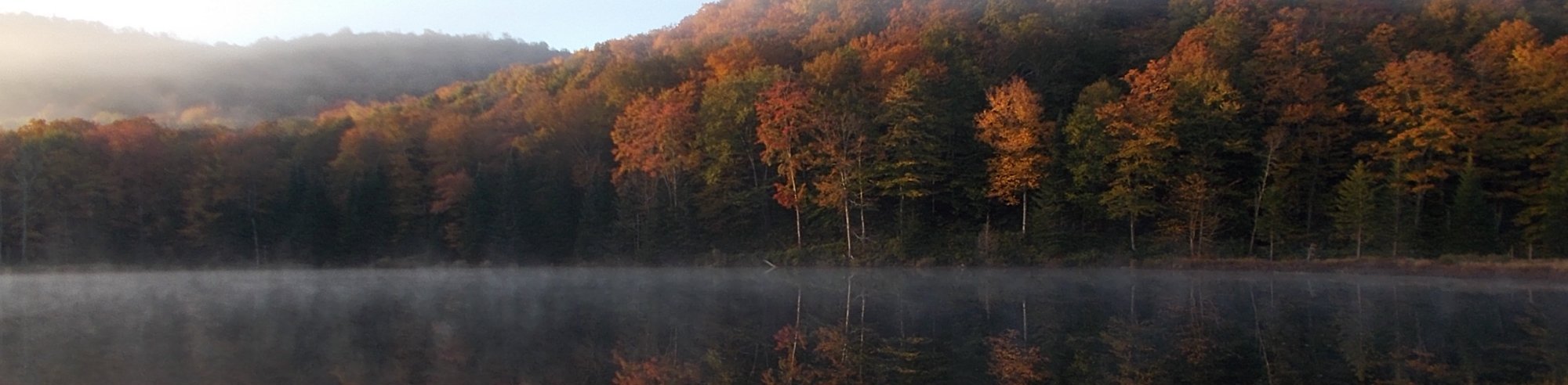
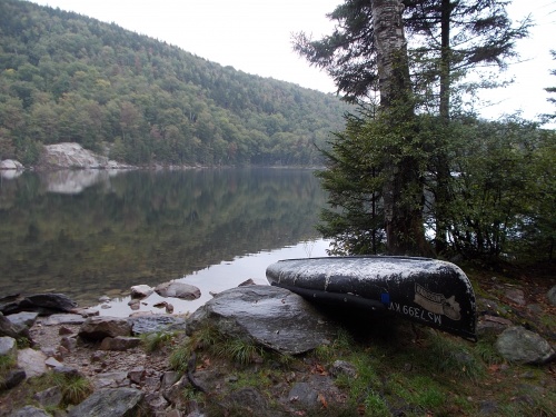
Sucker Pond
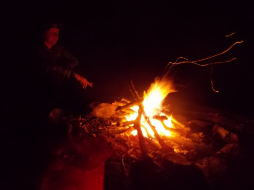
Cackles enjoys the campfire
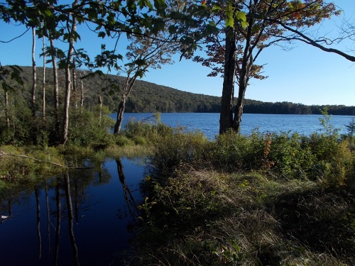
Little Rock Pond
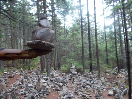
Cairn village!

Clarendon Shelter
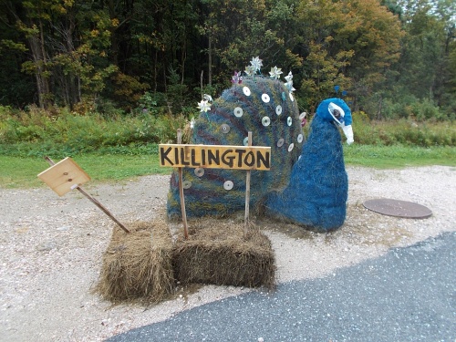
Hitchhiking Peacock
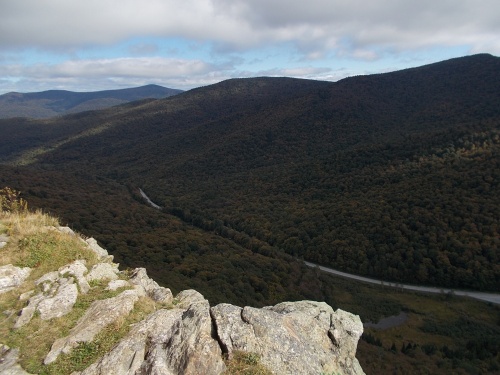
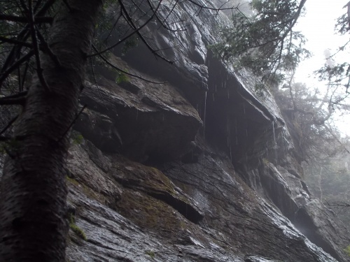
View from the Great Cliff of Mt. Horrid
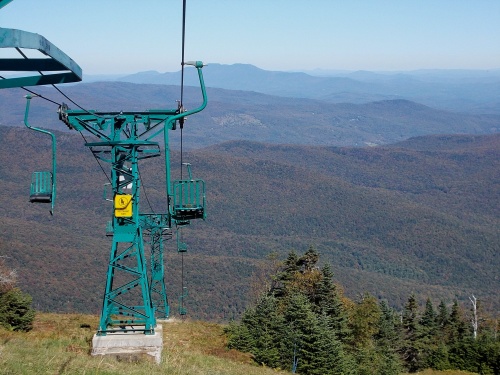
Mad River Glen Ski Area's single chairlift
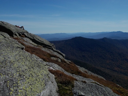
View from Burnt Rock Mountain
Camels Hump
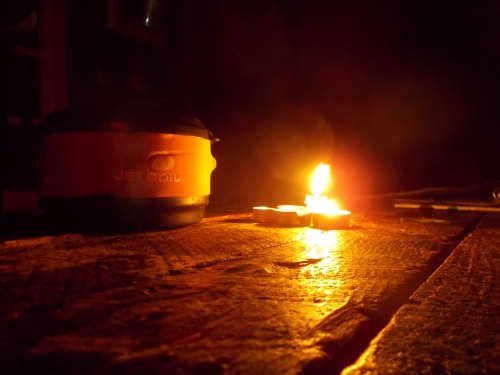
Camping by Candlelight
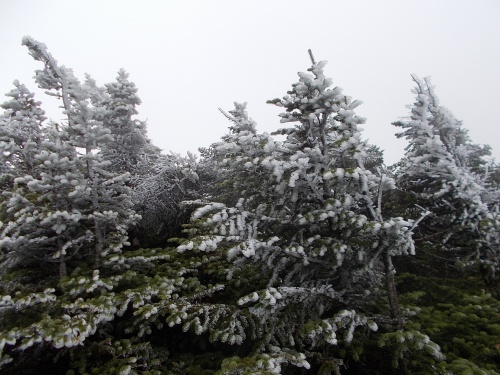
Rime Ice on Mansfield
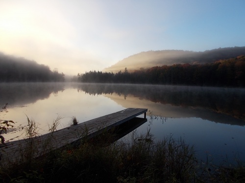
Ritterbush Pond
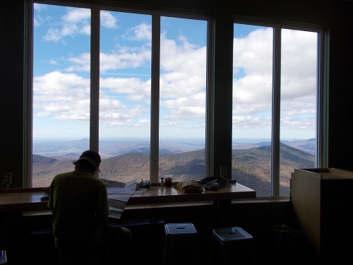
View from Jay Peak Snack Bar