Colorado Trail
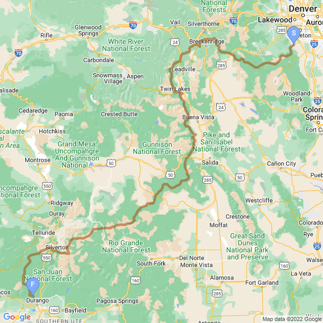
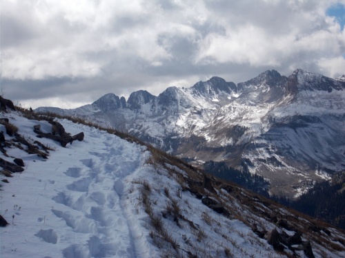
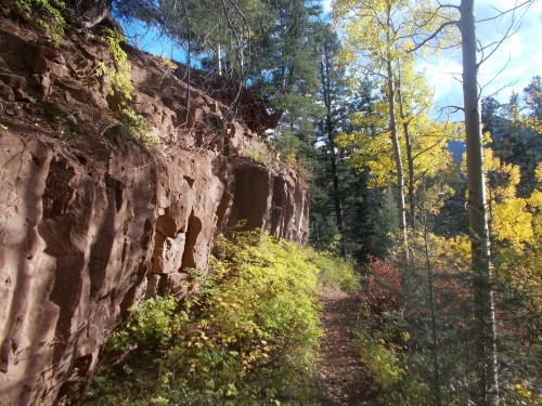
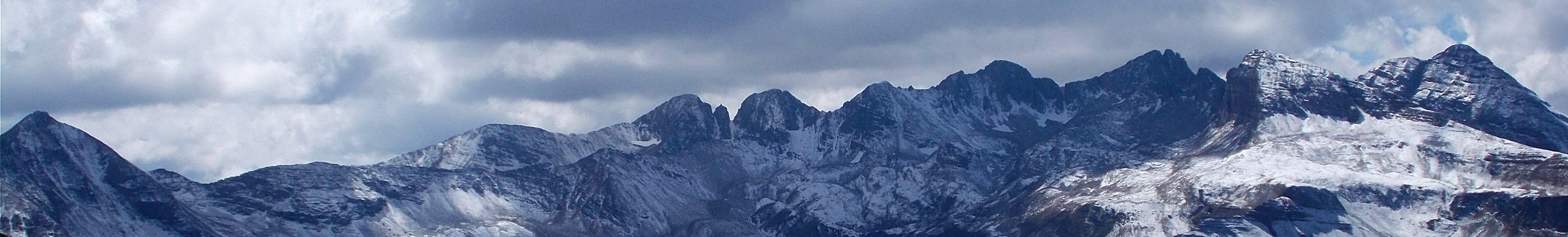
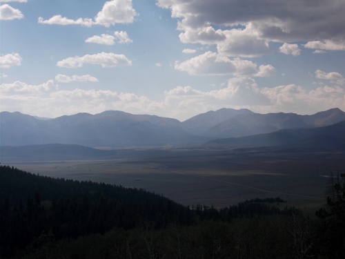
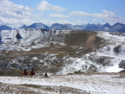
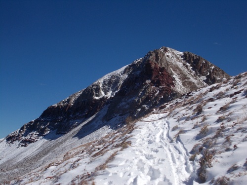
The Colorado Trail runs nearly 500 miles through the heart of the Rocky Mountains from Denver to Durango. It’s among one of the most consistently high-altitude hiking trails anywhere with an average elevation above sea level exceeding 10,000 feet (3,000 m). It runs through a multitude of climates and landscapes from searing sun-baked landscapes to snow-covered mountains where temperatures plunge well below freezing.
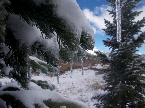
And for this hike, there’s a treat—I carried some upgraded camera equipment! The Canon EOS Rebel T6 is heavy, bulky and a pain-in-the-you-know-what to carry (along with it’s 300mm zoom lens), but I carried it every step of the way this time around to get some amazing shots that my regular point-and-shoot camera couldn’t do. You’ll find long-exposure photos of flowing creeks and shots of the stars and the Milky Way that I could never get before. With the zoom lens, I could get close-up photos of animals, insects and birds that I had never been able to get before. It’s a trail like no other on Walking 4 Fun!
| Stage Name | Length (miles) | Position (miles) | |
|---|---|---|---|
| 1. | Waterton Canyon to S Platte Canyon | 16.5 | 0.0 → 16.5 |
| 2. | To Little Scraggy TH | 11.4 | 16.5 → 27.9 |
| 3. | To Rolling Creek TH | 12.2 | 27.9 → 40.1 |
| 4. | To Long Gultch | 16.4 | 40.1 → 56.5 |
| 5. | To Kenosha Pass | 15.1 | 56.5 → 71.6 |
| 6. | To Goldhill TH (Breckenridge) | 32.8 | 71.6 → 104.4 |
| 7. | To Copper Mountain TH | 12.4 | 104.4 → 116.8 |
| 8. | To Tennessee Pass | 25.8 | 116.8 → 142.6 |
| 9. | To Timberline Lake TH | 13.4 | 142.6 → 156.0 |
| 10. | To Mount Massive TH | 13.0 | 156.0 → 169.0 |
| 11. | To Clear Creek TH | 21.5 | 169.0 → 190.5 |
| 12. | To Silver Creek TH | 18.6 | 190.5 → 209.1 |
| 13. | To Chalk Creek TH | 22.7 | 209.1 → 231.8 |
| 14. | To Highway 50 TH (Salida) | 20.5 | 231.8 → 252.3 |
| 15. | To Marshall Pass TH | 14.0 | 252.3 → 266.3 |
| 16. | To Sargents Mesa TH | 15.4 | 266.3 → 281.7 |
| 17. | To Highway 114 TH | 20.4 | 281.7 → 302.1 |
| 18. | To Saguache Park TH | 13.7 | 302.1 → 315.8 |
| 19. | To Eddiesville TH | 13.7 | 315.8 → 329.5 |
| 20. | To San Luis Pass | 12.6 | 329.5 → 342.1 |
| 21. | To Spring Creek Pass (Lake City) | 14.8 | 342.1 → 356.9 |
| 22. | To Carson Saddle TH | 17.3 | 356.9 → 374.2 |
| 23. | To Stony Pass TH | 16.0 | 374.2 → 390.2 |
| 24. | To Molas Pass (Silverton) | 20.0 | 390.2 → 410.2 |
| 25. | To Bolam Pass TH | 21.0 | 410.2 → 431.2 |
| 26. | To Hotel Draw TH | 11.1 | 431.2 → 442.3 |
| 27. | To Kennebec Pass TH | 20.6 | 442.3 → 462.9 |
| 28. | To Junction Creek TH (Durango!) | 21.5 | 462.9 → 484.4 |
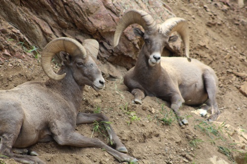
Bighorn sheep!
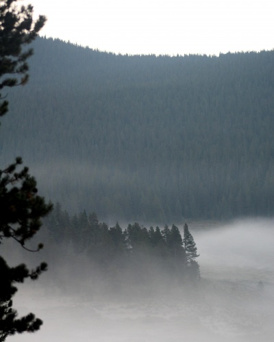
Morning fog
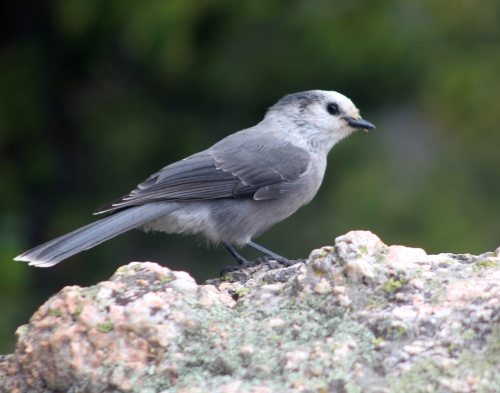
Grey Jay
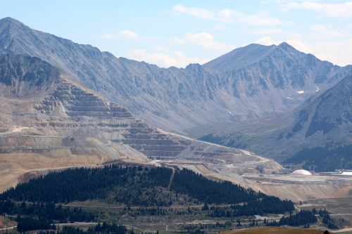
Mining activities
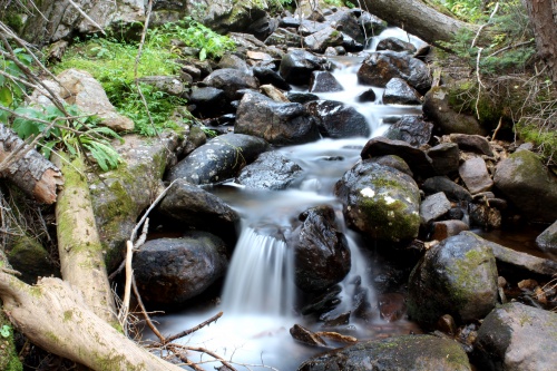
Glacier Creek
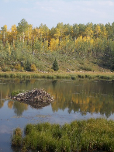
Beaver pond!
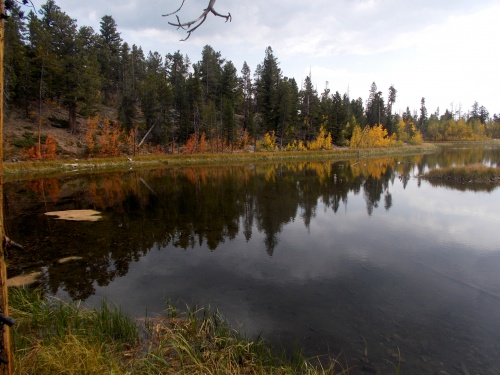
Harvard Lake
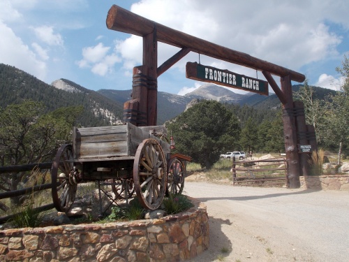
Frontier Ranch
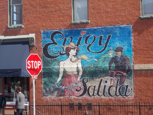
Enjoy Salida!
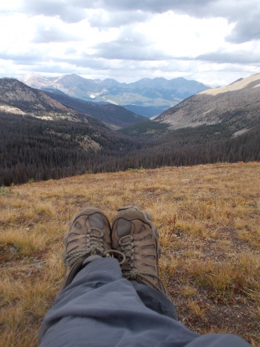
Break time!
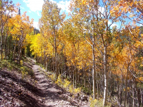
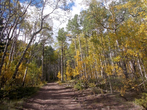
The aspen are gorgeous!
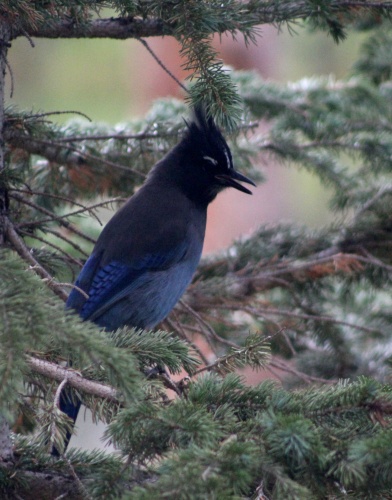
Steller's Jay
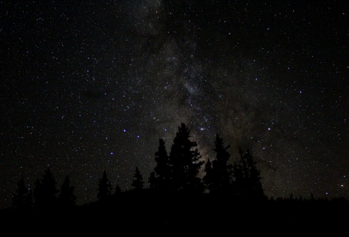
The Milky Way!
Van Tassel Gulch Road
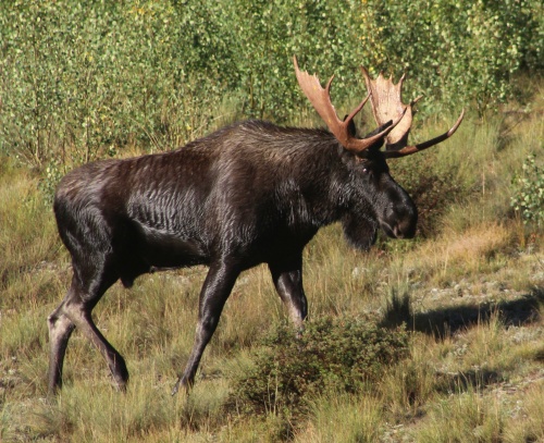
Moose! Moose!
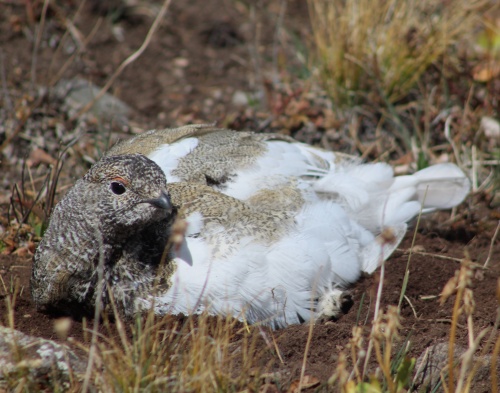
White-tailed Ptarmigan
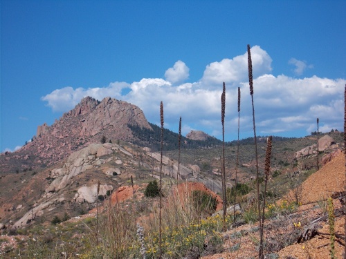
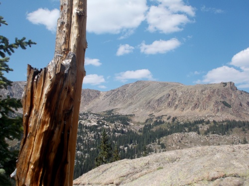
Blackhawk Pass